About the Project
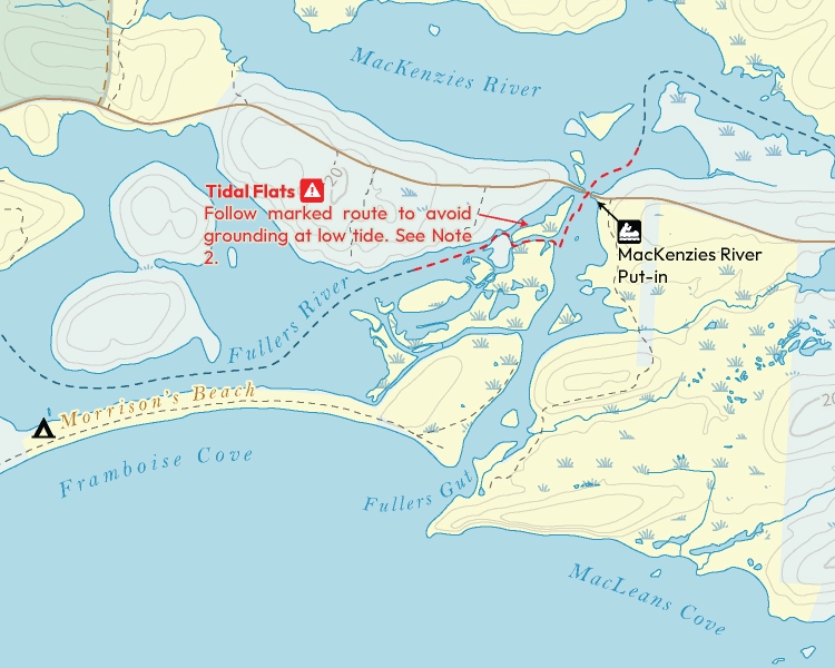
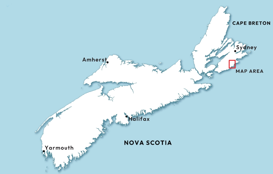
This project was completed during Cartography Lab as a requirement of the GIS: Cartography and Geovisualization program at COGS in partnership with Canoe Kayak Nova Scotia and focused on developing a detailed recreational paddling map of the Fourchu Coast Wilderness Area on the eastern coast of Cape Breton. The map highlights a 51-kilometre coastal paddling route extending from the Mira River to Gabarus Lake and was designed to support recreational navigation, trip planning, and environmental awareness throughout a large and geographically complex wilderness environment.
The project involved extensive GIS processing and cartographic refinement using provincial-scale geospatial datasets sourced through GeoNOVA . Most of the workflow was completed in ArcGIS Pro, where datasets were clipped, organized, queried, and simplified to isolate information relevant to recreational paddling, including shorelines, wetlands, hydrology, wilderness areas, roads, campsites, and navigational hazards. Final cartographic refinement, typography, symbology, and layout composition were completed in Adobe Illustrator.
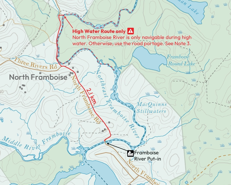
One of the primary challenges of the project involved working with the Nova Scotia Hydrographic Network (NSHN) , a highly detailed provincial hydrographic dataset containing numerous feature classes and coded water features. Considerable effort was required to understand the structure of the dataset, interpret metadata, and filter features appropriately to balance cartographic clarity with accurate environmental representation. This became particularly important within the coastal project area, where shorelines, wetlands, islands, and interconnected water systems created complex visual and navigational relationships.
The final result was a large-format paddling map integrating route guidance, campsites, access points, environmental context, and navigational information into a cohesive cartographic product intended for recreational field use. The project provided valuable experience integrating GIS analysis, client requirements, and professional cartographic production workflows within a real-world mapping environment.
Technology Stack
- ArcGis Pro
- Adobe Illustrator
Applied Skills
- Processed and refined provincial-scale geospatial datasets using ArcGIS Pro to support recreational paddling cartography.
- Queried and filtered complex hydrographic datasets using feature classes, metadata, and attribute-based workflows.
- Applied cartographic generalization techniques to improve readability within a detailed coastal wilderness environment.
- Designed and produced a large-format recreational navigation map integrating hazards, campsites, access points, and route guidance.
- Completed final cartographic refinement, typography, symbology, and layout composition in Adobe Illustrator.