Bringing over a decade of experience in emergency response and mountain
operations to cartography and GIS.
Background
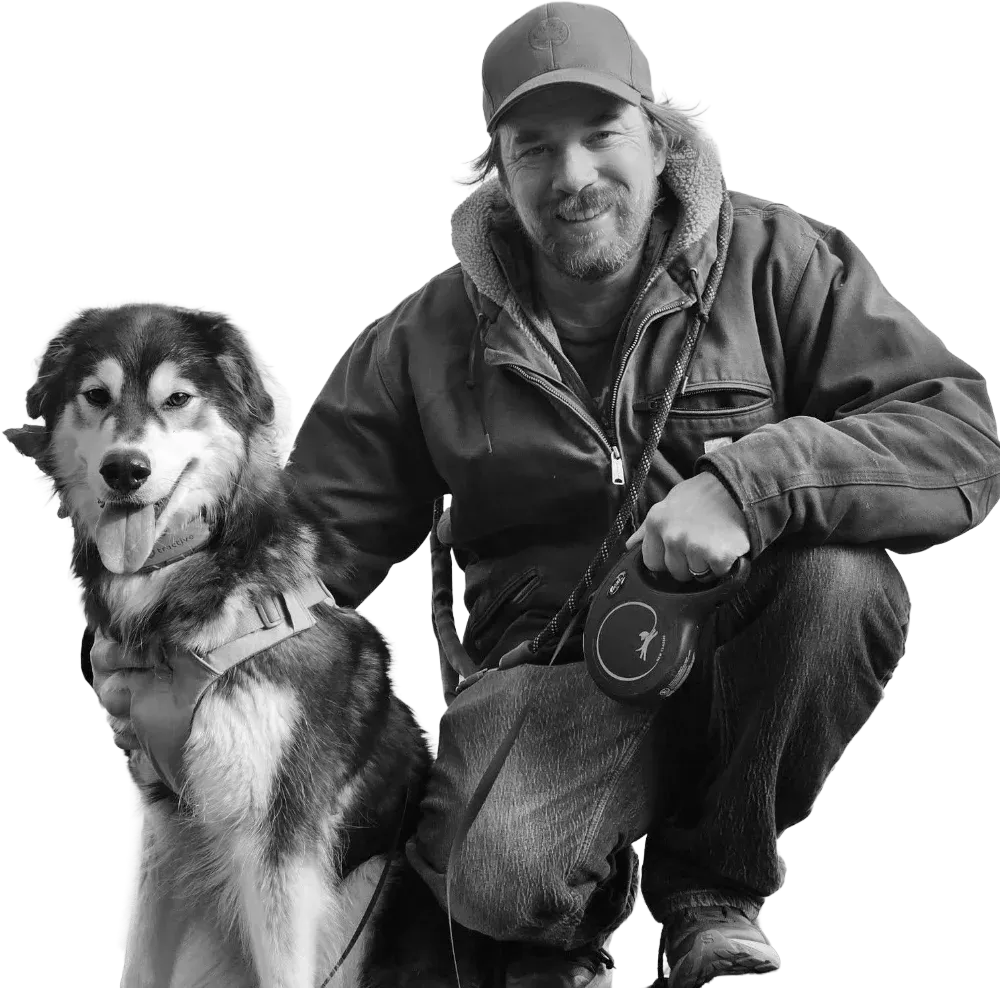 Alex and Ukee in Nova Scotia
My interest in GIS and cartography grew out of years working as a
first responder in complex operational environments where spatial
awareness and accurate geographic information can have real
consequences. Through my experience as an Infantry Officer in the
Canadian Armed Forces, as a Professional Ski Patroller at Whistler
Blackcomb, and as a Paid-On-Call Firefighter with the Whistler Fire
Rescue Service, I developed a strong appreciation for terrain,
navigation, and the importance of reliable geographic information.
These roles required teamwork, attention to detail, clear
communication, and rapid decision-making in dynamic environments where
terrain, navigation, and situational awareness were critical.
During this time, I also began developing
ULLR Maps, a terrain-focused mapping project originally created as a personal
reference tool to better understand the complexity of Whistler
Blackcomb's terrain. The project eventually grew into a public mapping
platform and played an important role in my decision to pursue
cartography and geographic information systems professionally.
As I enter the geospatial field, I look forward to applying my
experience in operational environments to developing maps and
geospatial tools that help people better understand complex terrain
and make informed decisions in real-world situations.